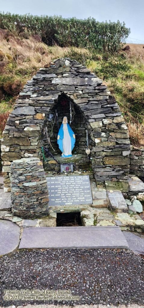
Tobairin Holy Well, Co Kerry, Eire
The Tobairin Holy Well in County Kerry, Ireland near the Cliffs of Kerry.
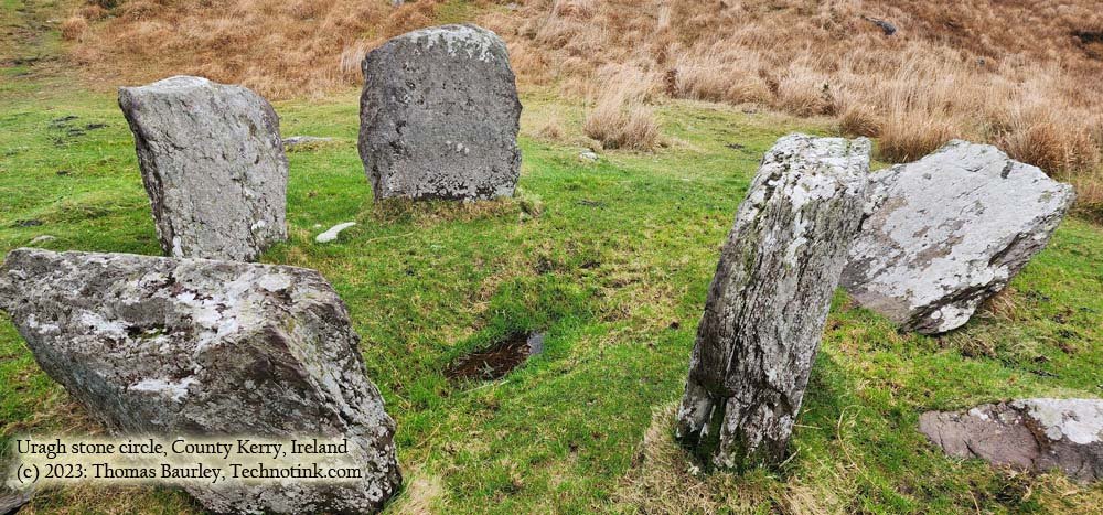
While driving the Ring of Kerry and the Ring of Beara, I spied on the maps a stone circle known as Uragh, so I decided to give it a gander. After a twisty country lane drive into the hills and farmlands, following signs to the off-the-map destination, I came to the gate—opened it up—and drove on in. Crossing a raging river with scenic overlooks of lakes and an astounding waterfall in the distance, the site was nothing more than enchanting.
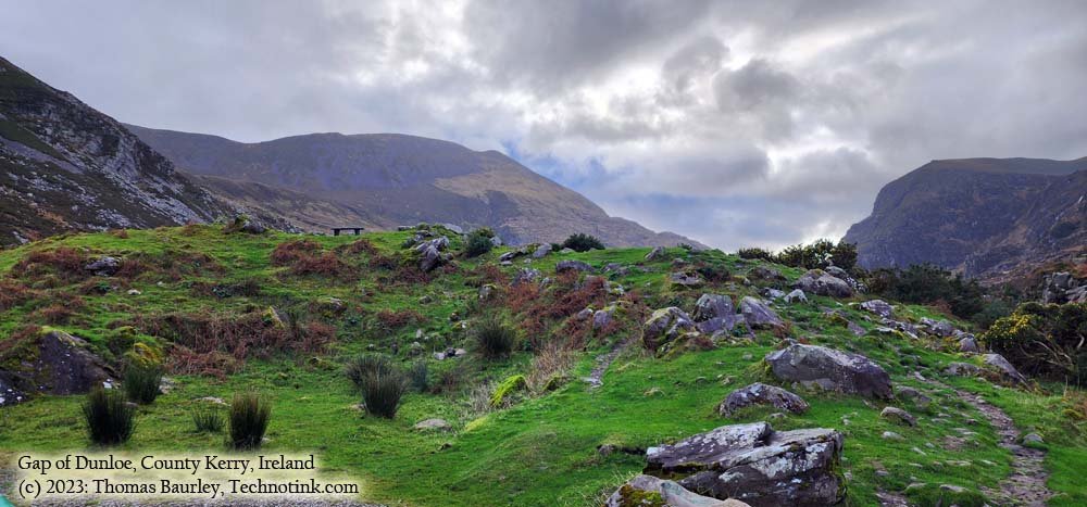
Named after the River Loe that runs through it, the "Gap of Dunloe" is derived from the Irish "Dún Lóich," meaning 'Lóich's stronghold' or "gap of the little hollow." This narrow mountain pass was forged by glaciers during the last ice age 25,000 years ago.
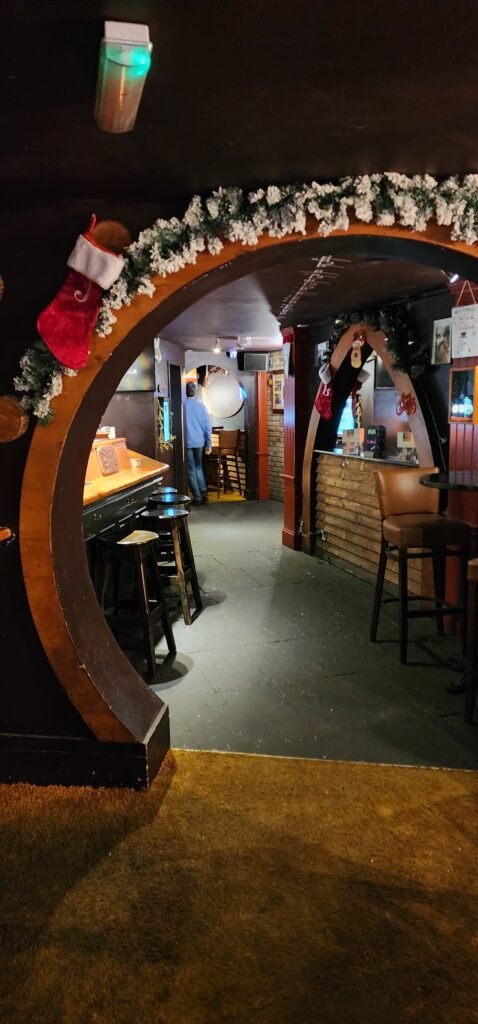
A Lord of the Rings inspired pub/bar/cafe in downtown Killarney, county Kerry, Ireland.
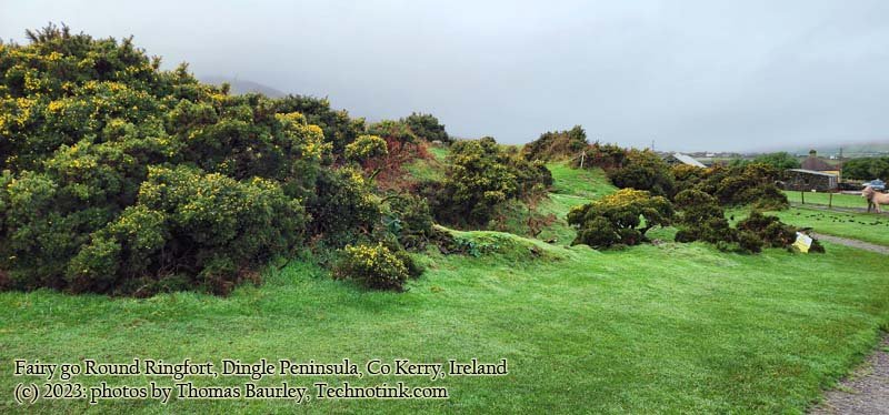
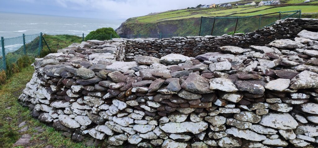
A tourist-attraction with a petting farm, this privately owned attraction is 10 km west of Dingle in the parish of Kilvickadownig. Its along the world famous Slea Head Drive. This Ring fort, also known as a "Rath", "Lios", or "Fairy Fort" is a circular ancient pre-Celtic settlement
In Irish this means "Little Fort". It is a triangular shaped promontory fort measuring 35m along its western side atop the 30 m high cliffs on the Dingle Peninsula in County Kerry with distinctive rows of defences and panoramic views over the Dingle Bay of Valentia Island and the Skellig Isles.
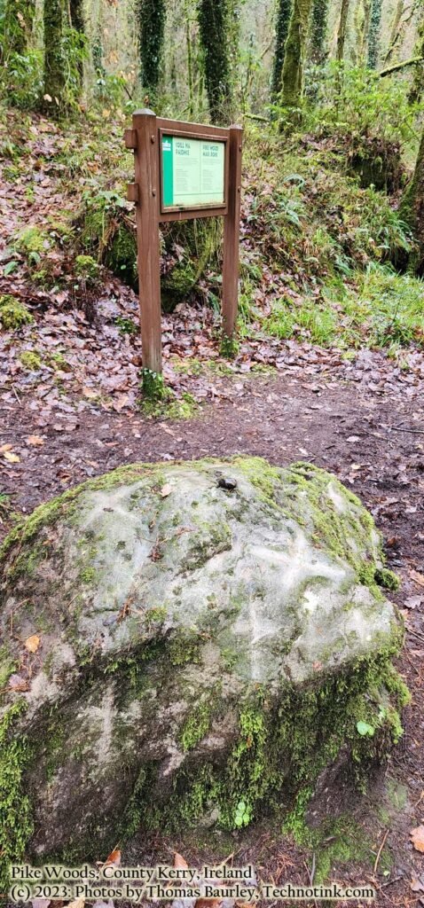
Mass Rocks: Generally, a "Mass Rock" was used as an altar in the mid-17th century for Catholic masses in Ireland and Scotland or regions where the Protestants persecuted the Catholics. In Irish they were called Carraig an Aifrinn.